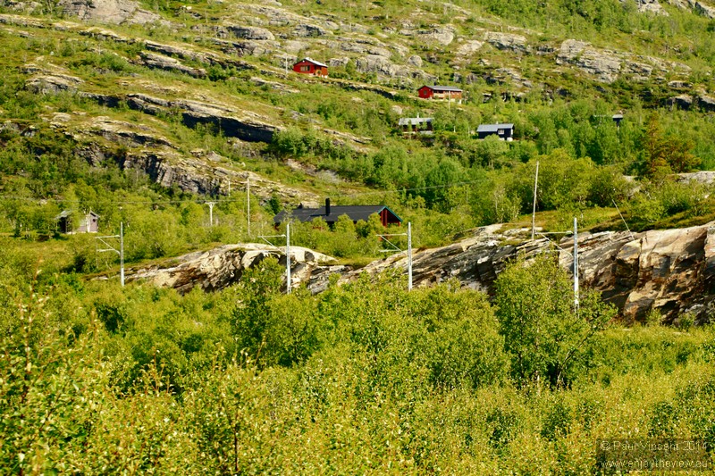
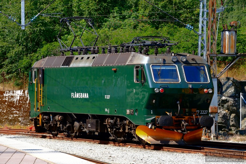
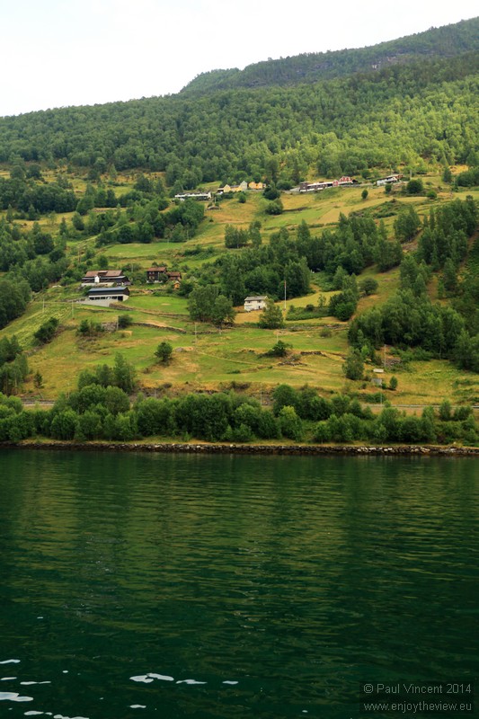
This bridge carries the E16 road, which links Oslo and Bergen.
Houses are scattered around the rough landscape of the Flåmsdalen Valley.
The Flåm Line passes directly over the upper part of this 225-metre tall waterfall.
A small power station attached to the waterfall powers the railway.
A road zigzags down the mountain, beside a steep stream.
Crystal-clear water flows along the floor of the valley.
Luggage racks within a Flåmsbana carriage.
Trains pass each other on the Flam Line's single passing loop.
The Flåm Line carries over half a million passengers every year.
The line is single track and counts only one passing loop on its 20km length.
The Flåmselvi is a 40-kilometre river that runs off from the Omnsbreen glacier.
The southern part of Flåm is slightly inland from the fjord.
This church, located near Håreina station, was built in 1667.
A small hamlet surrounds the historic Flåm church.
Water cascades in to Flåmselvi.
A row of houses beside Flåmselvi.
NSB El 17 locomotives were introduced on the line in 1998.
The side of this carriage advertises some features of the line.
Sun shines down on the south-eastern edge of the fjord.
Daisies grow through the rock on the edge of the fjord.
Four neighbouring houses overhang the Aurlandsfjord.
Many brightly-painted buildings occupy the waterfront district of scenic Flåm.
This stream flows in to Aurlandsfjord.
Tall mountains provide a dramatic backdrop to this peaceful stream.
The eastern edge of the fjord.
Here, the E16 highway disappears in to the mountain.
A lone kayaker is dwarfed by the coastal cliff face.
Aurlandsvangen is located about 10km to the northeast of Flåm.
A seagull flies through rays of sunshine above the fjord.
Crepuscular rays above the fjord.
Houses are sparsely scattered across the hilly landscape around the fjord.
The small village of Undredal is famous for its brown goat cheese, still produced in the traditional way.
A light mist descends on the fjord.
A seagull swoops over the fjord.
The mountains around Aurlandsfjord reach altitudes of over 1,400 metres.
The Aurlandsfjord is part of the World Heritage area surrounding Nærøyfjord.
Here, the Nærøyfjord branches off of the Aurlandsfjord.
The Aurlandsfjord is a 17 km arm of the world's second longest fjord, the Sognefjord.
This fjord is an arm of the Sognefjord.
Two smalls tents on the edge of the fjord.
The Styviselvi flows in to Nærøyfjord.
A hamlet on the shore of Nærøyfjord, beside Styviselvi.
Water cascades down the cliff face towards Nærøyfjord.
The damp climate favours lush vegetation on the edges of the fjord.
Rain descends on the Aurlandsfjord.
View from the southern tip of the Nærøyfjord.
The Nærøyfjord is one of the narrowest fjords in Europe.
A Viking ship, moored alongside more modern vessels in Gudvangen.
Colourful homes around Flåm church, in the southern part of Flåm.
Water cascades in to the valley.
The NSB El 17 locomotives can haul six carriages.
A hamlet beside Blomheller station.
A stream winds through rural Norway, near the village of Upsete.
A camper van in the tranquil setting of Lake Vangsvatnet.